Marine Site Characterization
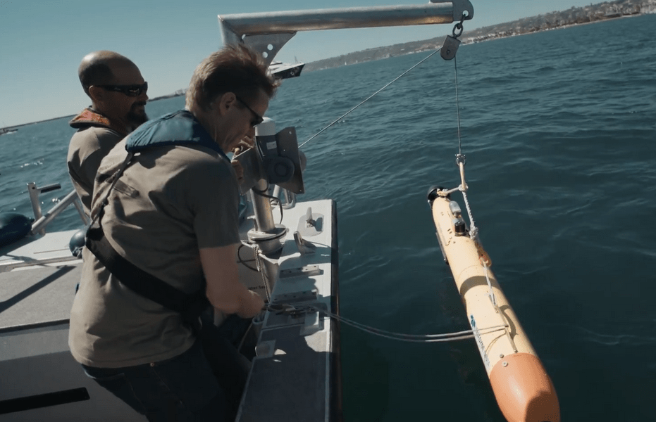
SEA360 offers comprehensive marine site characterization services using Autonomous Underwater Vehicles (AUVs), providing precise and efficient data for hydrographic, geophysical, and environmental surveys.
By utilizing AUV technology, we reduce operational costs, minimize environmental impact, and provide high-quality data to support safe and informed decision-making for offshore projects.
Our Services include:
Geophysical site investigation
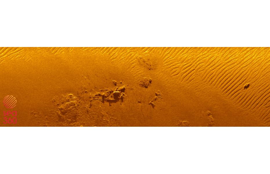
Using advanced, non-intrusive technology, SEA360 offers a comprehensive analysis of the seabed structure to support the safe and cost-efficient development of maritime infrastructure, while prioritizing the protection of marine ecosystems.
Accurately analyzed geophysical data is essential for speeding up project timelines, reducing risks, and avoiding over-engineering.
Our surveys allows to identify potential hazards, such as geological risks or navigational obstacles, allowing developers to adjust their plans for greater safety and efficiency. Our geophysical services include, but are not limited to:
- Cables pre-lay and route planning
- Habitat mapping
- Site clearance and obstructions assesment
Hydrographic survey
Whether you’re planning a new offshore wind farm or monitoring existing infrastructure, understanding bathymetry is essential. Neglecting seabed morphology can result in excessive infrastructure costs or additional expenses from fixing issues caused by unsuitable foundations or poorly planned cable routes.
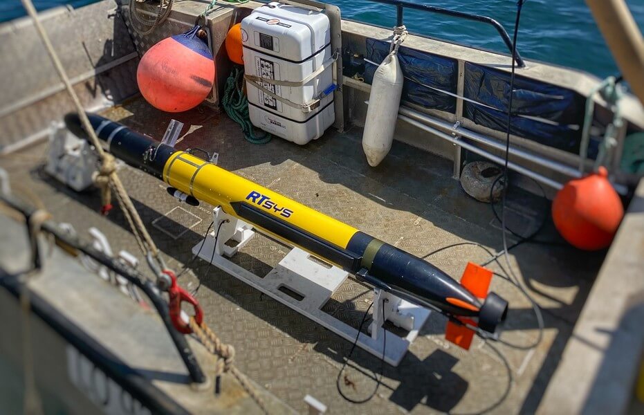
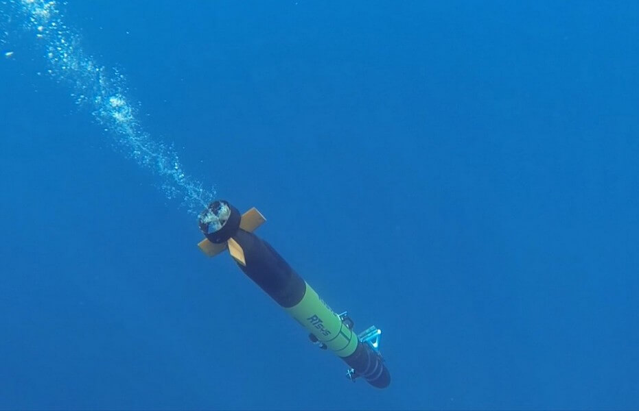
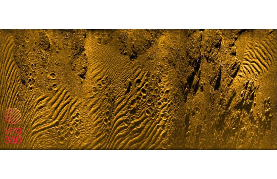
SEA360 offers advanced hydrographic surveys using AUVs that operate at depths up to 1000 meters, providing high-resolution seabed mapping where surface vessels fall short.
Equipped with state-of-the-art sensors like interferometric sidescan sonar, our AUVs capture detailed images of the seafloor with exceptional precision.
This allows us to gather accurate data in hard-to-reach areas, supporting subsea applications in such challenging environments.

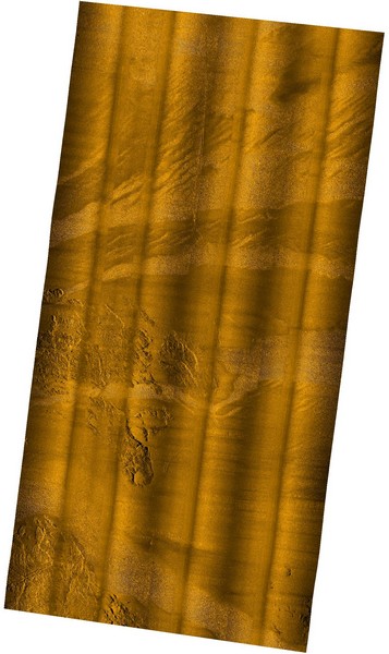
Environmental Impact Assessments
Environmental Impact Assessment (EIA) surveys are essential for evaluating the suitability and value of offshore wind development sites.
Our surveys provide a thorough analysis of how proposed developments may affect the environment, supporting sustainable decision-making and reducing ecological risks. They offer a detailed review of the site’s environmental elements, such as marine habitats and aquatic ecosystems.
By pinpointing sensitive areas, we help developers implement effective mitigation measures to protect biodiversity and ecosystem health. Additionally, our surveys assist in optimizing project design and layout by identifying potential hazards like geological risks or navigational challenges, enabling safer and more efficient planning.

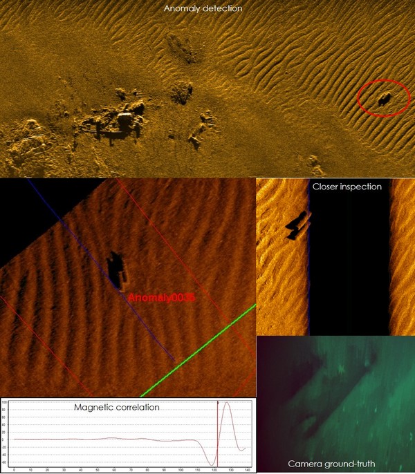
UneXploded Ordnance (UXO) surveys
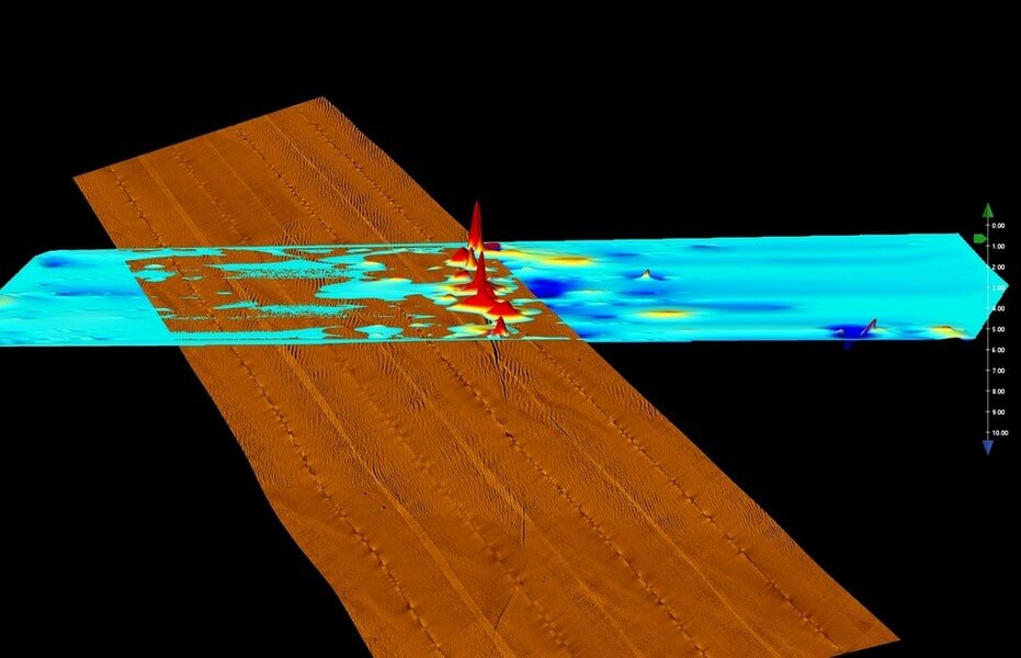
UXO surveys are a critical and challenging step in offshore infrastructure development, including wind farm projects.
By combining conventional systems with Autonomous Underwater Vehicles (AUVs), SEA360 offers a flexible, cost-effective solution for UXO detection.
AUVs provide high-resolution, multi-sensor data while navigating just meters above the seabed to ensure thorough coverage. Their flexibility and precision meet the highest specifications, efficiently identifying and managing UXO risks, helping to keep projects on schedule and ensuring safe site preparation.